HDI-PRO-V
Unleash unparalleled accuracy and durability with the HDI-PRO-V, meticulously crafted to meet the demands of professionals in need of precise dual-axis inclination measurement. Engineered with advanced technology, this robust tool offers a comprehensive measuring range of ±180°, ensuring high-precision results.
HDI-Surface-2D
The dual axis inclinometer for measuring straightness, parallelism, flatness, squareness, and machine geometry with a sensitivity of 0.001 mm/m.
We firmly believe when it comes to perfectly aligning machines in two axis (X,Y) simultaneously, the HDI-Surface-2D is the perfect solution. For this application, the HDI-Surface-2D can be used as a stand-alone instrument increasing the user’s convenience.


HDI-PRO
The HDI-PRO digital inclinometer is a dual-axis handheld inclinometer designed to measure the slope with an accuracy of 10 seconds arc in the range of ±5° and an accuracy of 1 arcminutes in the range of ±180°. Temperature compensation, fast calibration capability and the ability to communicate with ETC and UTC series inclinometers have made HDI-PRO digital inclinometer a reliable product for operational environments.
HDI-NANO
The HDI-NANO inclinometer is a dual-axis handheldxa0 inclinometer designed to measure the slope of the surface in the range of ±180° with an accuracy of better than 0.030°. To use this device, the user usually connects it to the surface where he wants to measure its slope or angle, then the device shows the information related to the slope or angle through a digital screen.


UTC-PRO
The UTC-PRO sensor, designed based on the micro-electromechanical linear accelerometer (MEMS), is a two-axis static inclinometer that measures an angle to the local horizon at a range of± 5 °with an accuracy better than 10 arcseconds.
ETC-PRO
The ETC-PRO sensor, designed based on micro-electromechanical linear accelerometers (MEMS), is a dual-axis static inclinometer that measures the angle with the local horizon within ±180°


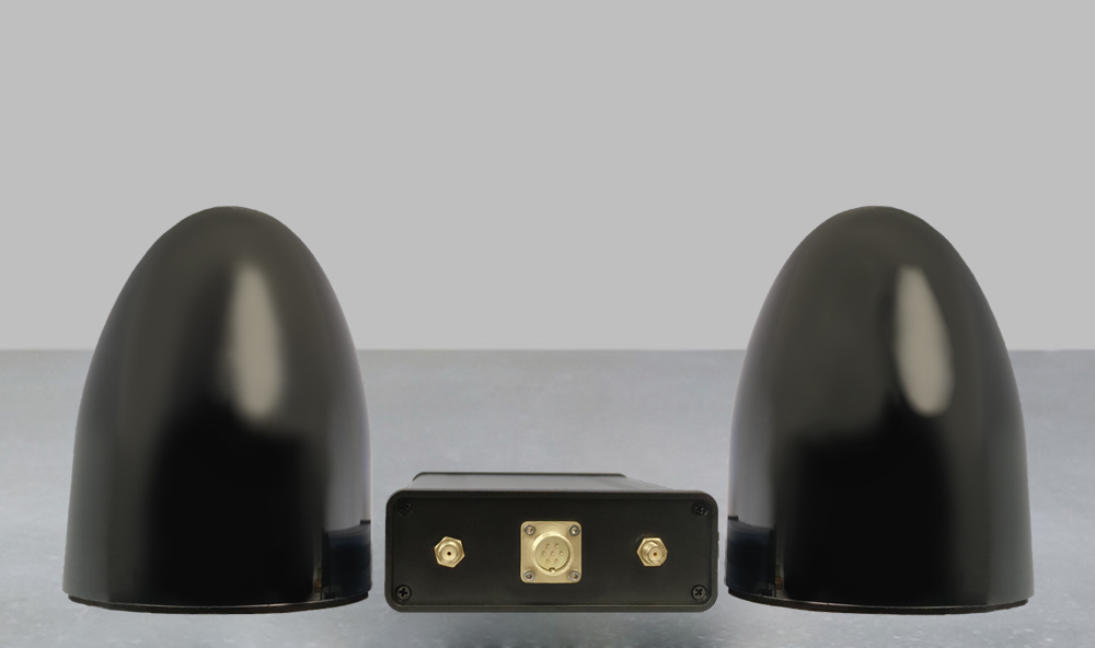
GPS-RTK North Finder
GPS-RTK North Finder is a satellite system used to accurately determine geographical location and orientation. This product is a precision tool that uses GPS satellite technology along with radio communications with a base station to determine the direction of the North.


